Anyone who has lived on the bayside of Lower Matecumbe Key long enough remembers when the swim zone was supposed to fix this. Islamorada's Village Council voted 5-0 back in August 2020 to put a vessel exclusion zone off White Marlin Beach and Port Antigua, and the buoys went in the water in May 2021. That was five years ago. If you walk down to the beach on a busy Saturday this month, you'll still hear the same soundtrack: outboard engines idling, speakers competing with each other, a raft of boats tied together just offshore.
The swim zone didn't fail. It did exactly what it was built to do, in exactly the stretch of water it was built to cover. What it never covered is the reason the crowd never really left, and that reason has less to do with enforcement than with a decision the Village made on purpose, twice, to protect a different group of homeowners on the same beach.
What the Swim Zone Actually Protects
The 2020 ordinance created a 300-foot vessel exclusion zone running waterward from the mean high water line off Port Antigua and White Marlin Beach. Inside that zone, boats can't anchor. The Monroe County Sheriff's Office enforces it, and violators can be fined up to $250. Village Attorney Roget Bryan was precise about what the ordinance does and doesn't touch when the council passed it: it regulates the navigable water, not the sand.
That distinction matters for anyone trying to picture where the line actually runs. The beach itself sits on private property owned by the homeowners whose backyards face the water. The ordinance never tried to police who walks on the sand. It only tried to keep boats from anchoring close enough to make that a problem in the first place.
For most of the shoreline, that solved the worst of it. But the 300-foot zone was never drawn edge to edge.
The Gap That Was Built In on Purpose
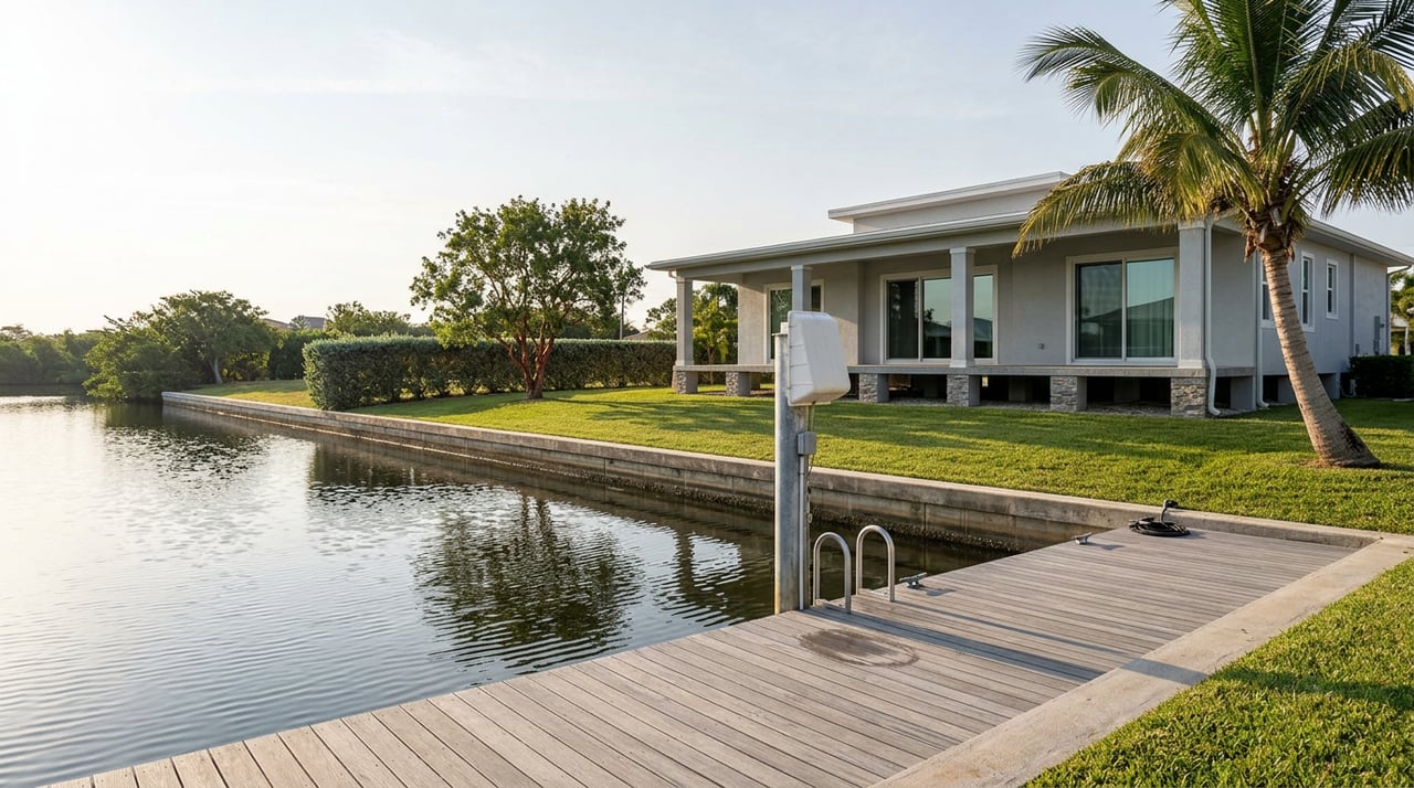
When the council wrote the original ordinance, it carved out a section of shoreline and left it out of the exclusion zone entirely. That section had private docks. If the zone had covered it, the homeowners who lived there would have lost the ability to get their own boats in and out of their own water.
It was a reasonable trade at the time. It also had a side effect the village staff flagged almost immediately: the boats that used to spread across the whole beach didn't disappear when 300 feet of it became off-limits. They concentrated in the part that wasn't.
The council tried to close that gap in 2022, proposing to fold a 350-foot section back into the swim zone. Then, in October 2024, a version of that fix actually passed, only to get rescinded eleven days later at the council's October 25 meeting once property owners inside the newly added section realized what it meant for their own docks. The same problem that created the gap in 2020 showed up again in 2024, and the council made the same call: protect the homeowners who need water access to their own property over closing the last opening in the zone.
Here's the timeline in order:
- August 12, 2020 — Council votes 5-0 to create a 300-foot vessel exclusion and swim zone, deliberately excluding a shoreline section with private docks.
- May 2021 — Buoys marking the swim zone are installed in the water.
- August 2022 — Council considers folding the excluded 350-foot dock section into the zone.
- October 2024 — An amendment adding that 350-foot section passes, then gets rescinded on October 25 after affected property owners object.
Five years in, the geometry hasn't changed. The zone protects most of the beach. The dock-access stretch remains open water, and that's where the boats go.
Where the Zone Actually Stands
| Section of shoreline | Status | What it means for boat traffic |
|---|---|---|
| Main 300-foot frontage (Aug. 2020 ordinance) | Vessel exclusion and swim zone, marked by buoys since May 2021 | No anchoring; Monroe County Sheriff's Office can issue fines up to $250 |
| 350-foot dock-access section (added and rescinded, Oct. 2024) | Open water, no exclusion zone | No anchoring restriction; this is the stretch where boats concentrate |
That second row is the reason boating guides written this year still describe White Marlin Beach and the Port Antigua sandbar as a spot where you can pull up and anchor. They're not wrong. They're describing a real 350 feet of legal anchoring water sitting right next to a legally protected swim zone, on the same beach, for the same reason it's been that way since 2020.
The State Is Building Something Bigger, Just Not Here Yet
If the local fix keeps hitting the same wall, it's worth knowing what's happening at the state level, because it's a bigger lever than anything one village council can pull on its own.
Florida law designates Monroe County as an anchoring limitation area under Section 327.4108. Any vessel anchored within 10 nautical miles of a public mooring field or a designated anchoring area has to move at least once every 90 days. The Florida Fish and Wildlife Conservation Commission has been directed to mark those designated anchoring areas with signs and buoys across Monroe County, a rollout that's still underway.
At the same time, Monroe County's marine resources department gave county commissioners an update in April 2026 on two new managed mooring fields it's building: one at Man of War Harbor off Wisteria Island, another in Boca Chica Basin between Stock Island and NAS Key West. Final permits are expected by late 2026, construction is set to begin in early 2027, and the two fields are projected to be finished in June and December of 2027.
Both of those fields are down near Key West, not Lower Matecumbe. Nothing in that plan touches White Marlin Beach directly, and there's no announced timeline for a mooring field or a state-marked anchoring zone at Port Antigua. But the authority behind that statewide push is the same authority Islamorada already used to build its own swim zone back in 2020, and FWC's signage rollout is explicitly countywide, not limited to the two harbors under construction. Whether that eventually reaches this stretch of Lower Matecumbe is an open question. It's one worth watching, not one that's been answered yet.
What This Actually Changes for a Weekend at the Beach
None of this means the sandbar scene is going away this season. It means the reason it's still there has a specific, findable explanation, and that explanation is worth knowing before you plan around it.
If a quieter beach day is the goal, Anne's Beach sits less than a mile away with a boardwalk, covered picnic tables, and shallow water with little wave action, and it's public land rather than private shoreline fronted by an open anchoring gap. Founders Park, the village's main recreation hub, offers a shallow bay beach and a broader set of amenities under its own resident and guest rules. Neither one comes with the boat traffic that defines the White Marlin Beach sandbar, because neither one has a 350-foot stretch of unregulated water sitting next to it.
If the boat scene is part of what drew you to this stretch of the Keys in the first place, that's still true here too. The swim zone was never built to end it. It was built to protect most of the shoreline while leaving room for the property owners who needed to keep using their own docks, and that tradeoff is still doing exactly what it was designed to do.
For residents who've spent years wondering why an ordinance that clearly passed never seemed to change much, the answer isn't apathy from the village or a lack of enforcement from the sheriff's office. It's a fence with a 350-foot gate, left open on purpose, in the exact spot where a decade of boaters have learned they're still welcome.
If you're weighing what a property on this stretch of Lower Matecumbe actually means day to day, from dock rights to how close you sit to that open section, Pine River Realty has spent years working waterfront transactions across Islamorada and the rest of the Keys. Book an appointment and we'll walk you through what a specific address on White Marlin Beach or Port Antigua actually gets you, buoys and all.